 UNVELL
F-2 MISSIONS Released — Real Flight Dynamics, Simple Controls
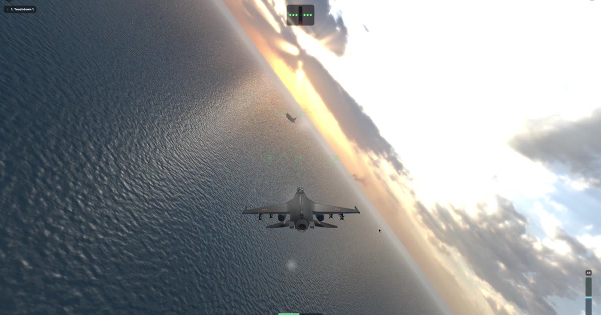
UNVELL Inc. Releases "F-2 MISSIONS," a Flight Simulation for iOS
— No procedures to memorize, no switch panels. Fly real-world terrain at true scale, at real speeds —
August 1, 2026 — UNVELL Inc.
UNVELL Inc. is pleased to announce the release of "F-2 MISSIONS," a flight simulation for iOS, now available on the App Store.
F-2 MISSIONS is built around a single idea: keep the feel of real flight, and drop everything that gets in the way of it. It ships with 15 missions spanning carrier approaches and traps, low-level runs through mountain valleys, and formation flying including aerial refueling.
Why We Built It
Flight simulation has long forced a choice. Serious simulators ask you to learn a great deal before you ever leave the ground — switch layouts, startup procedures, system management. The more faithfully they reproduce the real aircraft, the narrower the door becomes for someone who simply wants to fly.
Casual flying games solve that by simplifying the flying itself. Speeds, altitudes, and terrain get compressed, and the aircraft turns wherever you point it. That is approachable, but the sense of actually handling an aircraft fades away.
F-2 MISSIONS aims at the space between the two: remove the complexity, keep the flying. Put your fingers down and you are airborne immediately — but the aircraft still obeys nothing except physics.
Key Features
1. A flight model that works like the real thing
The simulation uses point-mass equations of motion whose state is body-axis angle of attack, rather than directly manipulating world-frame attitude. Because motion follows from aerodynamics as it does in the real aircraft, what is correct in a real jet is correct here — roll into a turn and pull to hold your altitude. Control authority scales with dynamic pressure, so the controls feel sluggish at low speed and sharp at high speed.
2. Almost nothing to learn
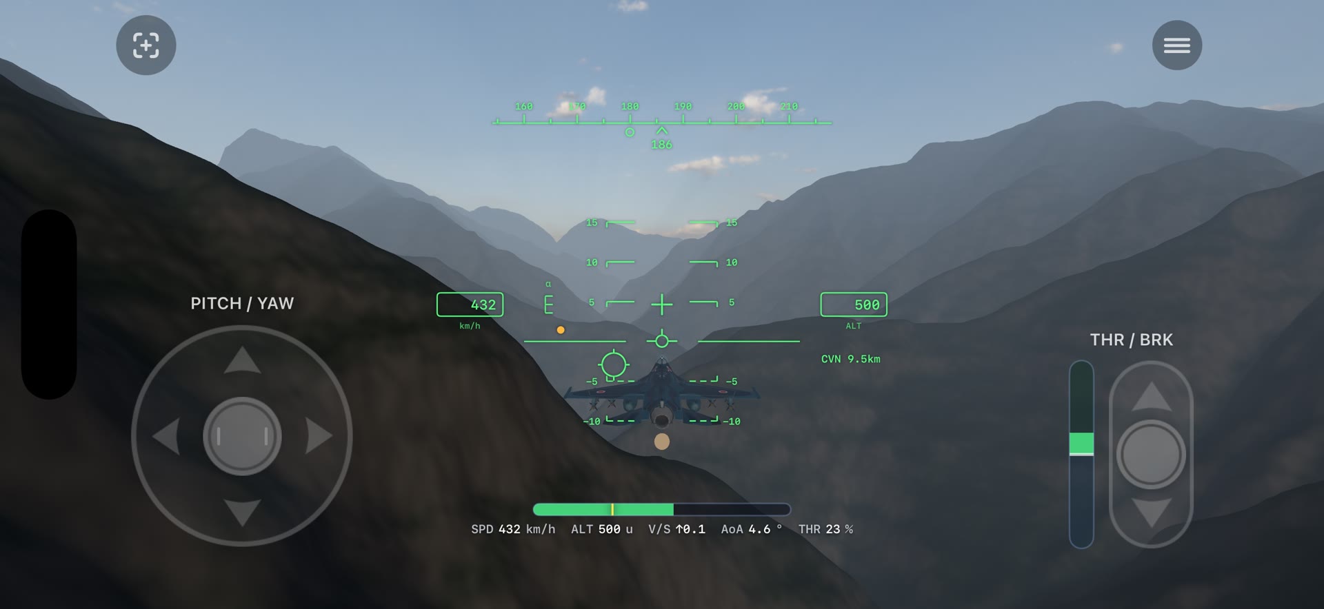
There are two controls: a pitch/yaw stick on the left and a throttle/brake on the right. No switch panels, no startup procedure to memorize. The HUD continuously shows speed, altitude, vertical speed, angle of attack, and thrust, along with the distance to your objective.
3. Real terrain at true scale
Terrain is generated from real 10-meter mesh elevation data and flown without any scale reduction. Speeds and altitudes are kept at real-aircraft scale as well, so a valley is as wide, and a ridge arrives as fast, as it would in an actual aircraft.
Included routes cover Kurobe Gorge, the Southern Alps (the headwaters of the Ōi River), the Azusa Valley at Kamikochi, and a roughly 26-mile circuit around the foot of Mt. Fuji.
4. Three categories, 15 missions
| Category | Contents |
|---|---|
| Carrier Qualification | Calm-day approaches, crosswinds, night traps, touch-and-go, and a final exam flown on instruments alone |
| Waypoint Flying | From open-ocean gate slaloms to low-level runs through gorges and mountain terrain |
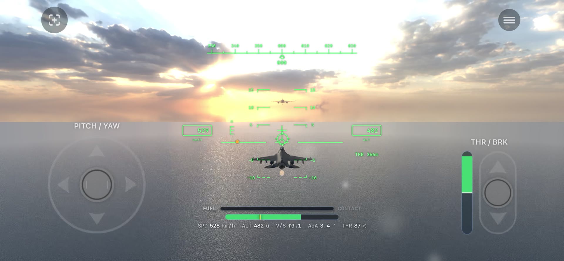
| Formation Flight | Holding position behind a tanker's boom, following a lead's maneuvers, and flying as lead yourself |
Every mission can be flown at three difficulty levels: NORMAL / HARD / ACE.
5. Scored on what you actually did
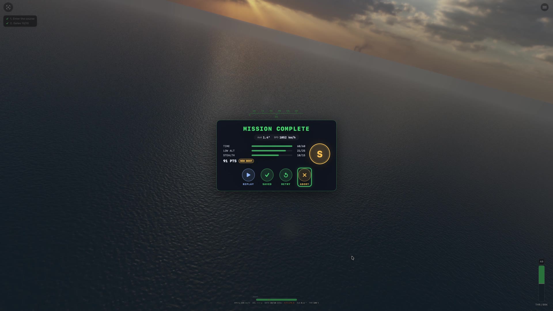
Each mission is scored by category when you finish. Landings are graded 0–100 on sink rate, centerline, wire, and angle of attack, and awarded a grade of S / A / B / C. Low-level missions break the score down into time, low-altitude discipline, and avoiding detection.
You can also review a replay of the flight, so you can see exactly where you gave away altitude or went wide at a gate, and carry that into the next run.
Who It's For
- Anyone who wants a genuine sense of flight without memorizing complex procedures
- Pilots-at-heart who want to fly low over real-world terrain
- Players who want to take on demanding skills like carrier landings and aerial refueling
- Anyone who wants to fly one mission at a time, in a short sitting
Product Overview
| Item | Details |
|---|---|
| Product | F-2 MISSIONS |
| Platform | iOS 17.0 or later (iPhone, landscape orientation) |
| Price | Free (with in-app purchases) |
| Website | https://f2-missions.unvell.com |
| App Store | https://apps.apple.com/app/id6787146575 |
| Developer | UNVELL Inc. |
What's Next
An Android version is coming soon, and a Windows (Steam) version is in preparation. The mission lineup and count may be expanded or changed in future updates.
Download & More Info
Available for free download on the App Store.
- App Store: https://apps.apple.com/app/id6787146575
- Website: https://f2-missions.unvell.com
About UNVELL Inc.
UNVELL Inc. is a software development company guided by the principle "Keep Simple, Keep Smart." We develop and deliver software products for developers, creators, and business users — including the spreadsheet component "ReoGrid."
Company website: https://unvell.com
Contact
- UNVELL Inc.
- Email: info@unvell.com
- Web: https://f2-missions.unvell.com
F-2 MISSIONS is an independent production, not affiliated with or endorsed by Mitsubishi Heavy Industries or any government or defense entity. Terrain data: Geospatial Information Authority of Japan (GSI) elevation tiles.